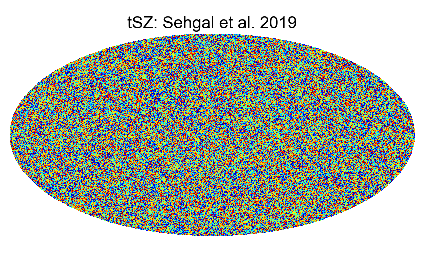
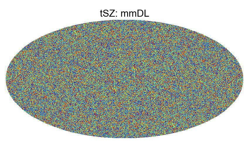
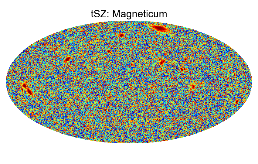
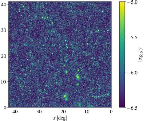
y-maps from observations
| Observation |
fsky [%] |
Resolution ['] |
Description |
Reference |
Thumbnail |
Origin |
|---|---|---|---|---|---|---|
| Planck 2018 (DR4) NILC |
98 | 10 | Chandran et al. 2023 | 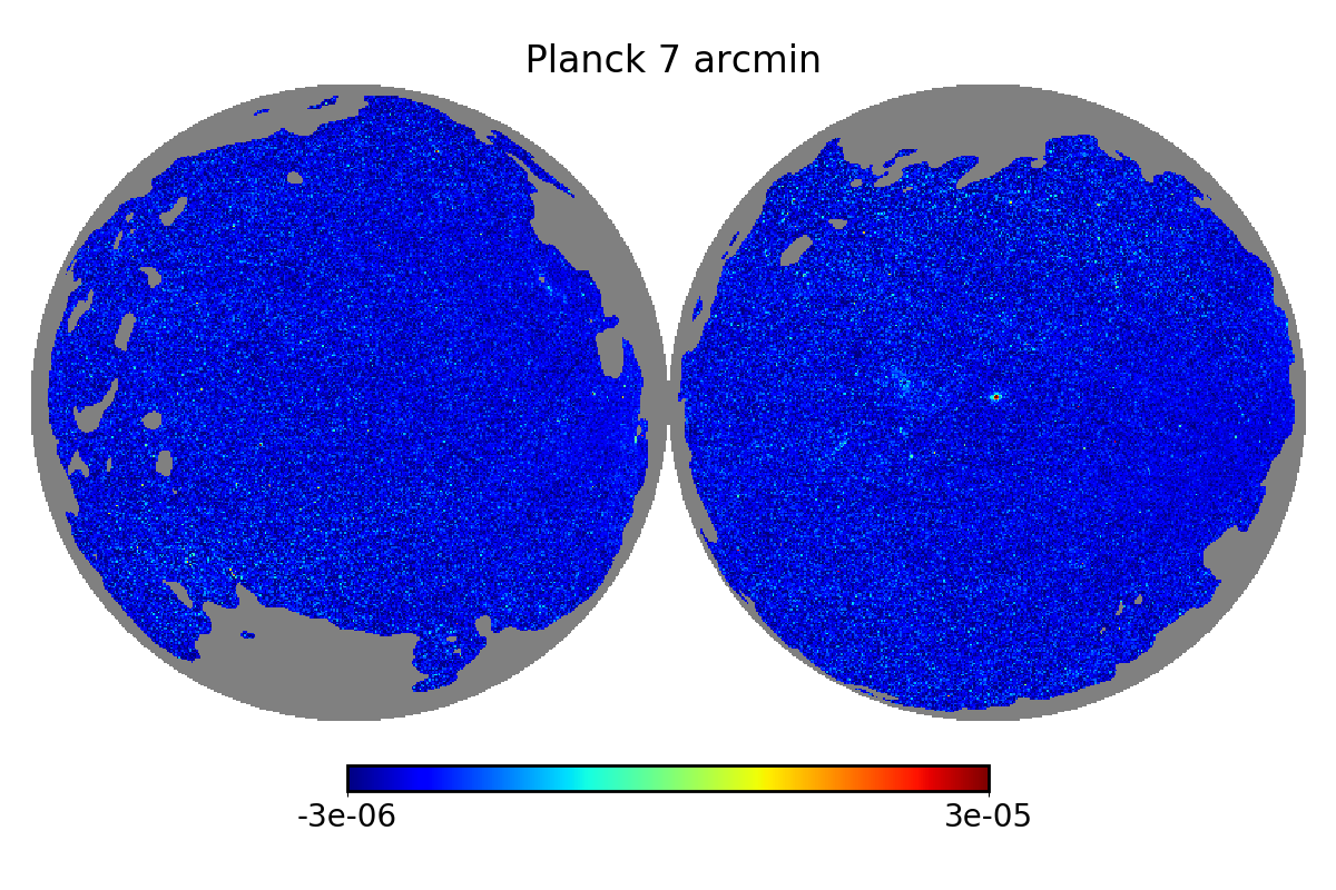 |
||
| Planck 2018 (DR4) [Available Soon] (and mask) |
50 | 7 | Tanimura et al. 2021 | |
||
| Planck 2016 (DR2) (MILCA 10arcmin) (and mask) |
50 | 10 | Planck Collaboration 2016 | 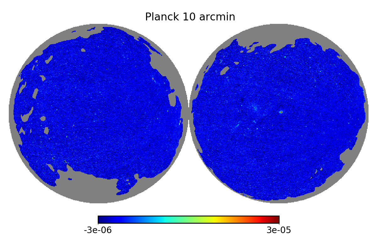 |
||
| Planck 2016 (DR2) (MILCA 7arcmin) | 50 | 7 | Planck Collaboration 2016 | |
 |
|
| Planck 2016 (DR2) (NILC 10arcmin) | 50 | 10 | Planck Collaboration 2016 | |
||
| Planck 2016 (DR2) (MILCANN) [Available Soon] | Hurier et al. 2021 |  |
|
|||
| Planck + SPT [Healpix full] (and mask) as fits.gz files |
5.15 | 1.25 | Bleem et al. 2021 | 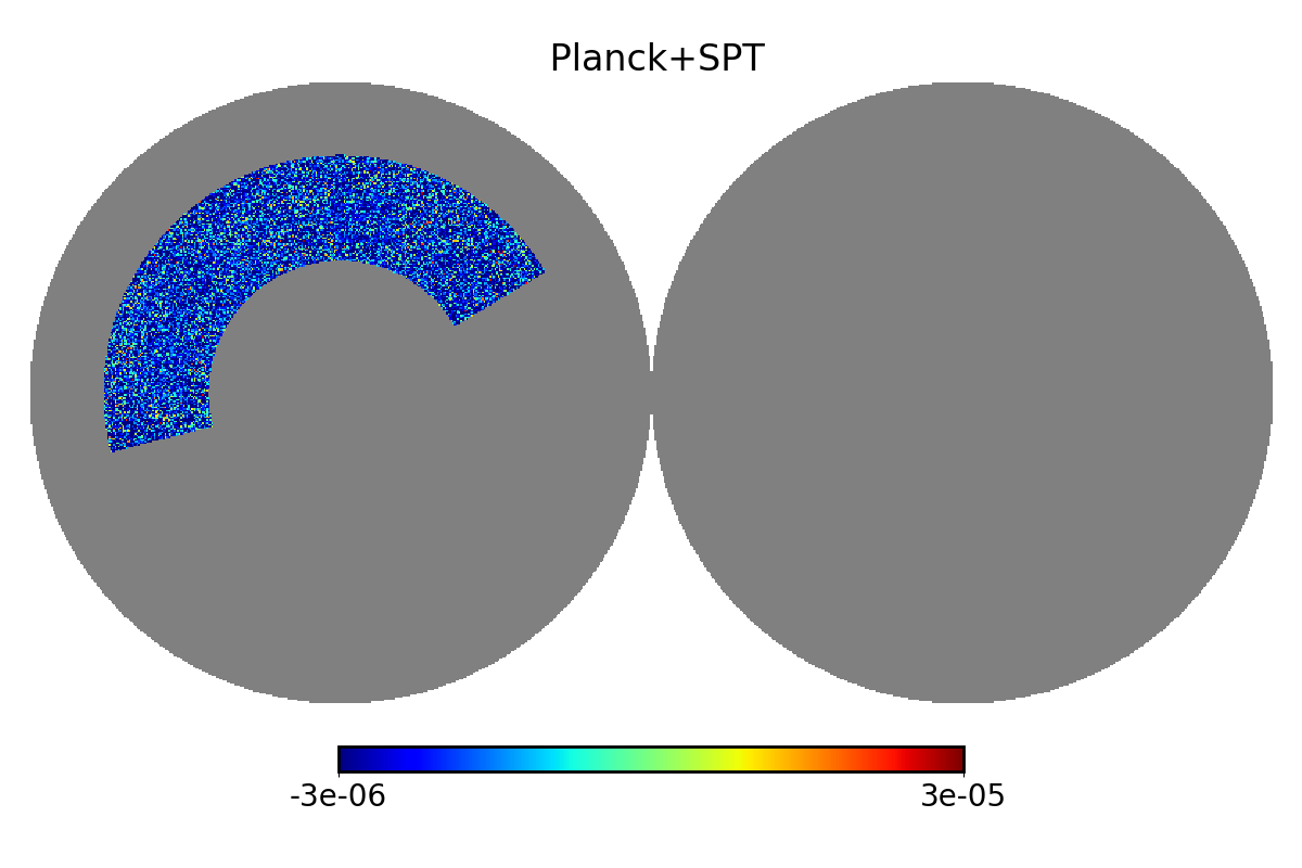 |
||
| Planck + SPT [Healpix partial] (and mask) |
5.15 | 1.25 | Bleem et al. 2021 | |
||
| Planck + ACT (BN) | 5 | 1.6 | Madhavacheril et al 2020 | 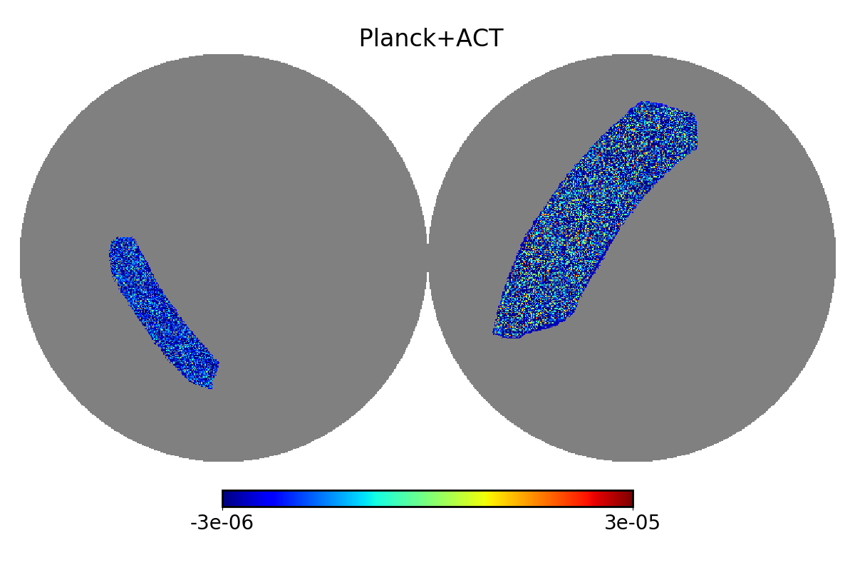 |
 |
|
| Planck + ACT (D56) | 5 | 1.6 | Madhavacheril et al 2020 | |
|
|
| PACT : Planck + ACT [available soon] | 2 | 1.7 | Aghanim et al 2019 | 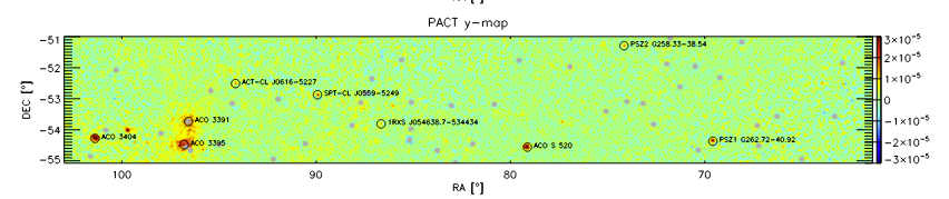 |
|